
- Award score
- 3.8Rating
- 500,000,000+installs
- Free
App information
Screenshots
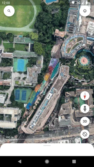
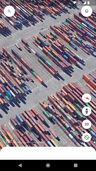
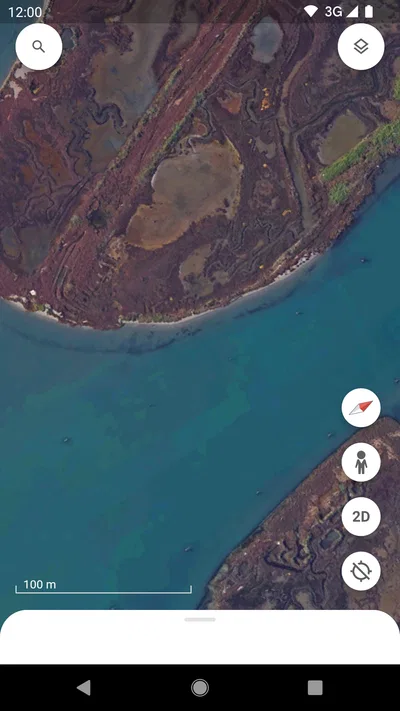
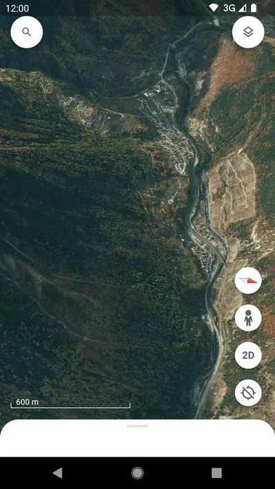
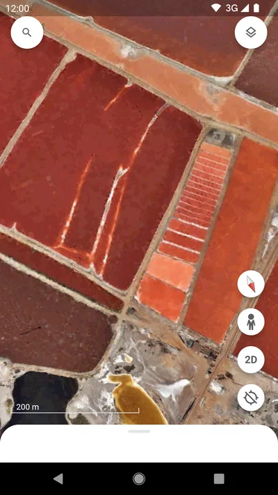
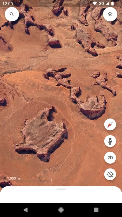
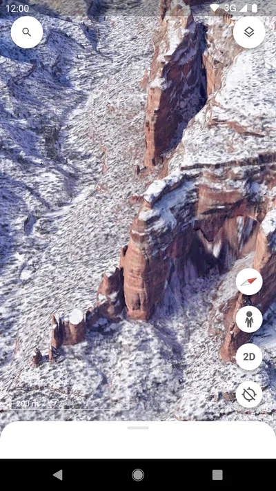
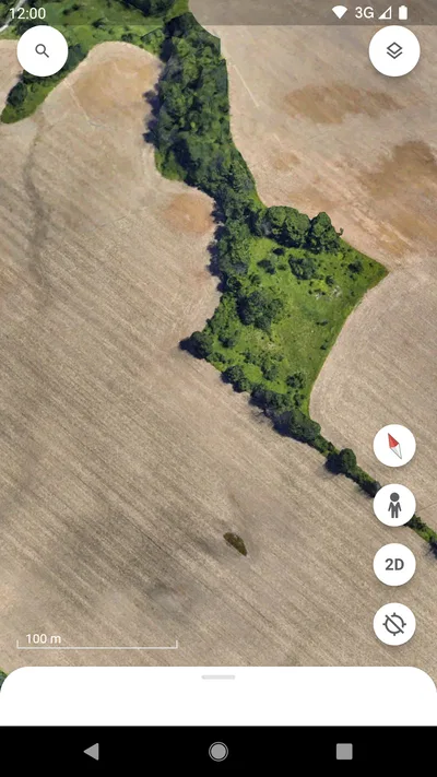
 Analysis byAppsAward
Our review of Google Earth
I find Google Earth most useful when a map needs to become a place you can explore together, rather than just a tool for getting from A to B. At home, that might mean tracing a relative’s old neighborhood, checking the landscape around a possible holiday rental, or helping a child understand how a distant city sits beside a river or mountain range. It turns casual curiosity into a shared activity, though it works best when everyone understands that a striking view is not the same thing as a live, street-level picture.
Exploring a place together from the couch
The basic pleasure is simple: search for a place, then move from a broad view of the planet toward a particular area. I like that this encourages the kind of questions a conventional route planner does not invite. What is the coastline like? How close is the town to the hills? Does the neighborhood look compact or spread out? For a household planning a trip, those details can make a destination feel less abstract before anyone starts comparing routes or booking plans.
A useful shared-device habit is to give one person control of the search while another chooses where to look next. That keeps the exploration focused and makes it easier for younger users to follow the changing view. Rather than passing the device around after every search, I would agree on a small goal—finding a landmark, following a river, or comparing two places—and let the group explore that question together.
Articles related to Google Earth
The app is a travel and local exploration tool from Google LLC, but I would not treat it as a substitute for a standard navigation app. Google Earth is better at helping me understand the shape and setting of a place; a turn-by-turn map is usually the better choice when I need to reach an address efficiently. Keeping those jobs separate avoids the common frustration of expecting a vivid globe view to behave like a route-first map.
One practical household example
Imagine that a family is deciding whether to visit a coastal town. Before discussing a detailed itinerary, I would search for the town, look at how it sits along the shore, and zoom out to see its relationship to nearby communities and terrain. That can prompt useful follow-up questions: Is the place isolated? Are there other towns nearby? Does the landscape suggest that getting between two attractions may take more planning than the map’s straight-line distance implies?
This is where the app offers more than a quick glance. I can use the view to build a mental picture, then switch to a conventional map for addresses, transport, and timing. The two-step approach is more reliable than trying to make one app answer every travel question. It is also a good way to include children in planning without asking them to interpret a route interface designed around efficient navigation.
Setting sensible boundaries on a shared device
For household use, the first question is less about advanced setup and more about whose device and account are in use. If several people share a tablet or phone, I would decide in advance whether the session is simply a group exploration or whether someone is using their own signed-in account. That distinction matters because people may have different expectations about personal searches and saved activity. I would not assume that a shared screen automatically means shared preferences or shared privacy choices.
Before handing the device to a child, I would open the app myself, check the current account context, and make sure the group knows how to return to a broad view or start a fresh search. These small steps prevent the next user from mistaking someone else’s exploration for their own. They also make a short family session easier to end cleanly, especially when the device is used for schoolwork or other personal tasks afterward.
Google Earth is free, which makes it easy to try without a purchase decision, and its age rating is Everyone. Those facts are useful starting points, not a complete household policy. I would still set age-appropriate expectations: the app presents real places and geographic imagery, but a young user may need help distinguishing a map view from a current observation or from a promise that a location is accessible.
A further practical tip is to avoid treating every visible detail as a reliable planning signal. Imagery can be compelling, but it does not replace checking current opening information, local conditions, or transport options elsewhere. I use Earth to ask better questions about a destination, not to settle every question about what will be there when we arrive.
Keeping family exploration coordinated
Coordination works best when one person acts as the navigator of the conversation, not merely the device. For instance, one family member can name a destination, another can suggest what to inspect, and the person holding the device can move the view. That simple division avoids a string of disconnected searches and helps quieter participants contribute without needing to operate the screen themselves.
When the group is comparing places, I recommend choosing the same kind of view and scale before drawing conclusions. A city seen close up can look much larger than a town viewed from farther away. Zooming out to a similar level before comparing the two makes the exercise fairer and gives children a concrete lesson in how map scale changes what we notice.
Another useful workflow is to start with a question rather than a destination list. “How does this island connect to the mainland?” or “What lies between the airport area and the old town?” gives the session a purpose. It also makes the app more engaging for someone who is not naturally interested in maps. The point is not to collect the most searches, but to use the globe view to understand one place more clearly.
There is a limit to this kind of coordination: the app is not the household’s shared itinerary or task manager. If several people need to agree on meeting times, addresses, or who is responsible for a booking, I would put those details in a separate planning tool or conversation. Earth can help everyone picture the location, but it should not be mistaken for a system that organizes the family’s plans.
Age, trust, and realistic expectations
The Everyone age rating makes the app approachable for a broad audience, and its subject matter can be educational without feeling like a lesson. A child can ask where a mountain range runs or why a city follows a coastline, while an adult can use the same exploration to prepare for a trip. In my view, the best family use comes from accompanying younger users and turning the imagery into a conversation instead of leaving them to infer everything from a screen.
Trust also means being careful about what the images imply. A view can make a place seem immediately knowable, but it cannot tell a family how welcoming, safe, busy, or accessible it will feel on arrival. I would use it to orient everyone geographically, then confirm practical decisions with current local information. That is especially important when children are involved, because a visually clear picture can feel more definitive than it really is.
The app has a 3.8 average from around 3 million ratings, alongside roughly 104,000 written reviews. I see that as a reminder that a widely used product can still be uneven for individual needs. Its scale is impressive—more than 500 million installs—but popularity does not make it the right tool for every map-related task. The value depends on whether the household wants exploration or straightforward directions.
Google Earth was released on February 22, 2010, and its long presence has made it familiar to many people. For a new user, though, the important question is not its history; it is whether the globe-style experience matches the task at hand. If the goal is to roam, compare terrain, or build a visual sense of a place, it earns its place on a shared device. If the goal is simply to find the fastest way across town, a route-focused alternative will usually feel more direct.
Where it fits among map alternatives
Compared with everyday navigation apps, Earth gives more attention to geographic context than to the next turn. That difference is valuable when a household is discussing a destination from several angles, but it can feel like extra work when someone needs a quick address lookup. I would keep a familiar navigation app available for live trip logistics and use Earth for the “what is this place like in relation to everything around it?” part of the conversation.
It is also not the best choice when the group needs a shared checklist, a dependable schedule, or a single source of current local details. Those jobs call for tools built around planning and coordination. Earth’s strength is visual discovery, and I think it is more satisfying when judged on that strength rather than on features belonging to a different category of app.
Some households may also prefer not to explore locations on a device used by several people. In that case, the sensible choice is to keep exploration brief and supervised, or to use a personal device with clear account boundaries. The app can support a shared activity, but the household still decides how personal devices, searches, and screen time are handled.
My household verdict
I recommend Google Earth to families and housemates who enjoy learning through places and want a more visual way to discuss travel, geography, or familiar locations. It is especially good for a short shared session with a clear question: compare two destinations, follow a coastline, or understand where a neighborhood sits in a wider region. The free price and broad age rating make it easy to consider, while the large user base suggests it is a familiar option for many people.
I would skip it as the household’s only map app. It is not my first pick for turn-by-turn directions, organizing a group itinerary, or verifying conditions that may change. I would also avoid handing a shared device to a child without first thinking about account context and explaining that imagery is a geographic aid, not a live report. Those boundaries are simple, but they make the experience more useful and less likely to create confusion.
For me, the best way to use it at home is as a conversation starter: explore a place together, notice its terrain and connections, then move to a more practical tool when the discussion turns into logistics. That balance plays to what this app does well while keeping its limits clear. If your household likes to understand a destination before visiting it, I think it is worth having; if all you need is the quickest route, choose a navigation app instead.
Pros
- Explore detailed satellite imagery across much of the world
- Use Street View to inspect streets and landmarks
- Measure distances and areas on the map
- Save places and organize them into projects
- Explore historical imagery in supported locations
Cons
- Some areas have outdated or low-resolution imagery
- High-quality imagery can use significant mobile data
- Many features work best with a stable internet connection
- Street View coverage varies by location
- The interface may feel crowded for first-time users
Best Travel & Local App 2026
Our verdict
Examine the planet
Frequently Asked Questions
What can I do with Google Earth?
Google Earth lets you explore a digital globe using satellite imagery, aerial photography, terrain data, and 3D views of many places. You can search for cities, landmarks, and addresses, zoom in to examine surroundings, and use Street View where imagery is available. It also offers guided projects and map layers, though the detail and available features vary by location.
Is Google Earth free to download and use?
The Google Earth mobile app is generally free to download and use, and you do not need a paid subscription for its core globe, search, and map-exploration features. Some advanced tools, services, or data options may be offered separately through other Google products. Check the app store listing and any in-app terms in your region for current availability and charges.
Does Google Earth work offline?
Google Earth is primarily designed to load imagery and other geographic data over an internet connection, so browsing new places may use mobile data or Wi-Fi. Some previously viewed content may remain temporarily available in the app’s cache, but this is not a dependable offline map download feature. If you expect to be without connectivity, plan to use a mapping app with explicit offline downloads.
Can I see my home or other places in real time on Google Earth?
Google Earth imagery is not a live video feed. Satellite and aerial images are captured at different times, and their age and resolution vary by location; some areas may have newer or sharper imagery than others. Street View imagery can also be dated. Treat the map as a reference for exploring geography, not as a real-time view or a guarantee of current conditions.
What permissions and privacy considerations should I know about before using Google Earth?
You can explore many locations without granting the app access to your device’s precise location, although allowing location access may help show your approximate position. Google’s handling of searches, location-related data, and other information depends on your account settings, app permissions, and privacy policies. Review the permissions requested during setup and Google’s current privacy information if you want to limit data sharing.

Download Google Earth
Similar apps
View all 9.6
Booking.com: Hotels & Travel
Travel & Local
 9.1
Airbnb
Travel & Local
 9.6
Expedia: Hotels, Flights, Cars
Travel & Local
 9.1
Upside: Gas & Food Cash Back
Travel & Local